Current Research - Documentation of the Site
One of the most important aspects of any excavation is the documentation of the finds. This is achieved by measuring the position of the finds within a site grid. At Crvena Stijena, we use a Total Station to measure the precise location of all finds with millimeter-level precision. This allows us, later, to visualize the position of all artifacts, animal bones, charcoal, etc. relative to each other and to the geological features of the site.
We also employ photogrammetry, which allows us to create a 3D model of the site at any point in time. We create one model of the excavation surface every four centimeters. These models are tied to the site grid, therefore the position of artifacts visible in the model, as well as features and rocks, can be located on the grid with millimeter-level precision.
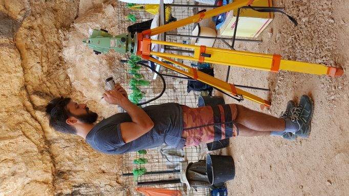 A Total Station is used in order to record the exact location, in 3 dimensions, of every artifact larger than 2 cm. in size. Smaller artifacts’ proveniences are recorded by bucket.
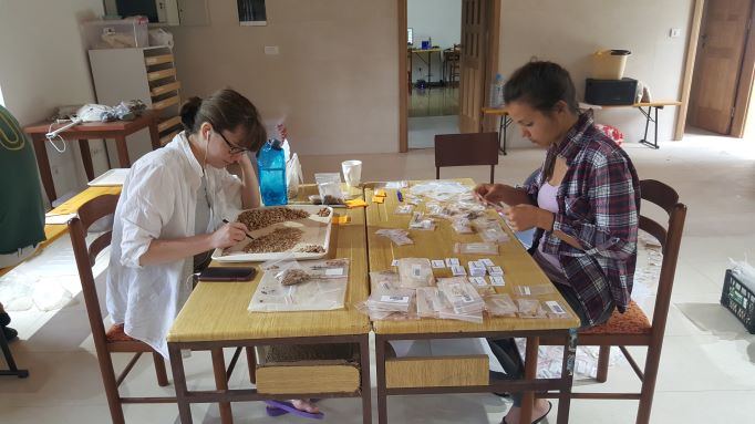 Important documentation of all of the artifacts is carried out in the lab every evening, after excavation.